Harder Kulm hike

Short but rewarding hike

One of my favourite fitness-hikes in Switzerland is the steep trail from Unterseen up to the Harder Kulm. Yes, that’s where the Brienzergrat hike ends, and you get stunning views of Eiger, Mönch and Jungfrau if the weather is good enough. 

How to get there

There are several trails up to the summit. I usually started from the western side of Unterseen. The entry to the path is a bit hidden, so you need to know what you’re looking for to find it. The sings show you the way, but they won’t give you any time estimate, what you usually find in Switzerland. If you come with public transport, the simplest thing could be to go to Interlaken Ost (East) by train and start from there.

The hike

The first time I needed 1.5 h for the 3.5 km and 733 m of altitude. Depending on your fitness level you can hike it in about one h, sometimes trail runners passed me there. The path starts steep and flattens out only on a few stretches, so a certain level of endurance and healthy knees are an advantage.

With Interlaken being a tourist hot spot, you can sometimes find some of them stumbling up or down this trail in flipflops, ballerinas or other inadequate shoes. You won’t need mountain gear but be sensible and wear some light hiking shoes or trainers with good grip. Especially when the ground is wet from the rain a couple of days earlier all those tree roots can become dangerously slippery.

Keep these things in mind, and you’re up for a beautiful hike that rewards you with some stunning view on the way and especially at the top. The outside area consists of two parts: a served space from the restaurant, and a picnic area where you can buy basic food and drinks or enjoy your own. The views are the same from each side, so there’s something for everyone.

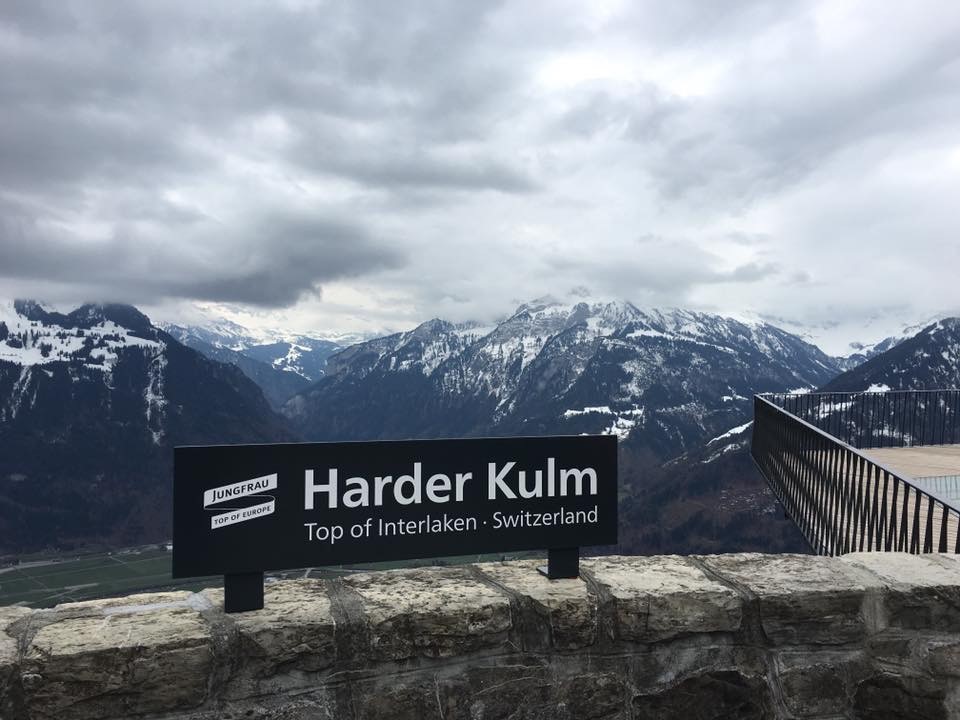
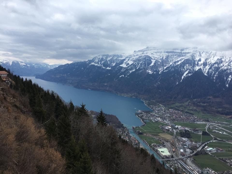
Take a break and enjoy the scenery. You’ll see both lakes: Lake Thun to your right and Lake Brienz to your left, the latter even colder and brighter in colour through the glacier water feeding it. When the weather allows it, you’ll see the paragliders flying with visitors from Beatenberg to the big meadow in front of the Victoria hotel. 

From here, you have a few options. 

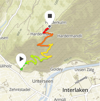
  1. If you’re up for a bit more, you can follow a round-trail around the top, which takes about one hour and is a slightly flatter continuation of the way up. I recommend bringing hiking poles for all the steps on the trail. 
  2. You hike back down the same way or any of the other trails, most of them lead you to where the funicular starts: Interlaken Ost (East). 
  3. You save your knees the suffering of going downhill, and you take the funicular for 16 CHF (15 EUR). It usually goes every 15 min or so, but if it’s busy, they run all the time. 

When I spent a lot of time in Interlaken, this was my morning routine on the weekends after which I blissfully enjoyed the rest of the day.

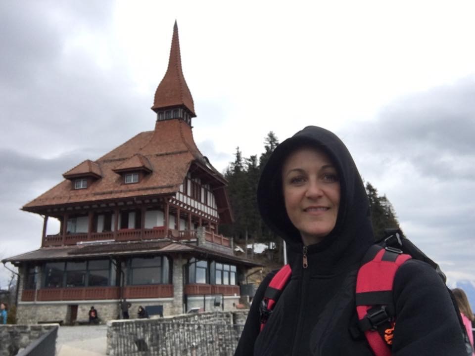
Even on a cold and gloomy day like this one in March 2016 when the restaurant is still closed for winter couldn’t stop me from enjoying this hike. Just keep in mind that in this case you have to walk downhill as the funicular also closes for winter. 

Updated: October 13, 2023 — 2:33 pm

1 Comment

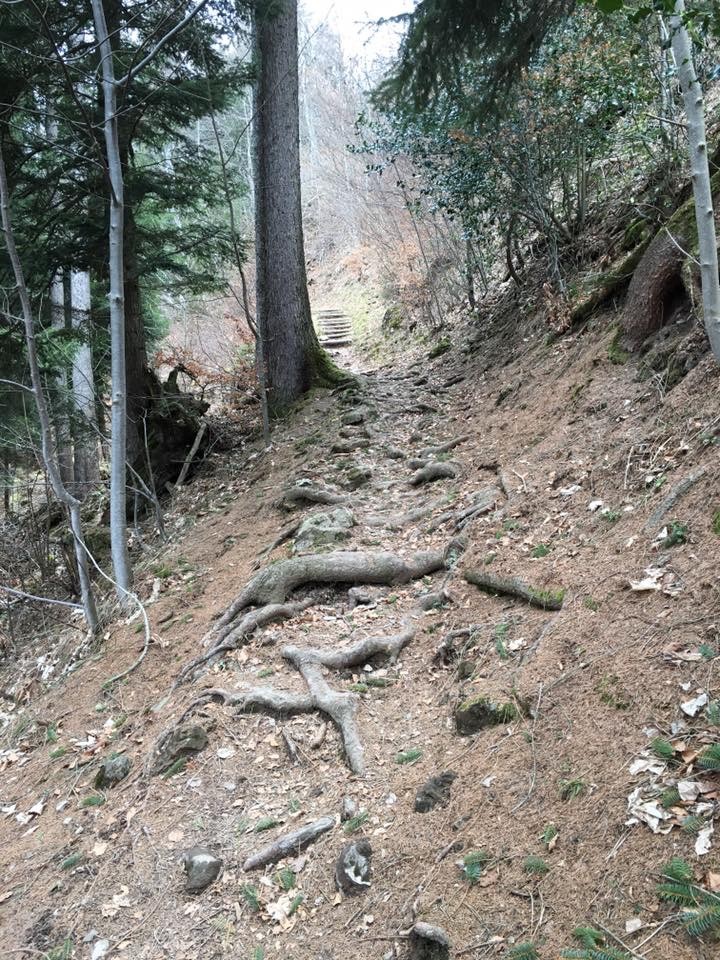
  1. Yes, some people underestimate the path and how exposed it is at some points. I also walked it with a friend who has vertigo this summer, it was a bit slippery on top of that. But she managed it well, we just took our time to do it safely.

    I’m glad you enjoyed it! 😊

Comments are closed.